The entrance sign at Fisher’s Hill Battlefield
Virginia is a great location to live or visit if you are interested in Civil War history, and though I’ve never thought of myself as a Civil War buff, I do find it interesting and humbling to visit some of the battlefield locations and imagine what it might have been like at that time. My father and I recently visited Fisher’s Hill Battlefield, one of many locations within the Shenandoah Valley Battlefields National Historic District.
A panoramic view of Fisher’s Hill Battlefield (8-image stitched pano)
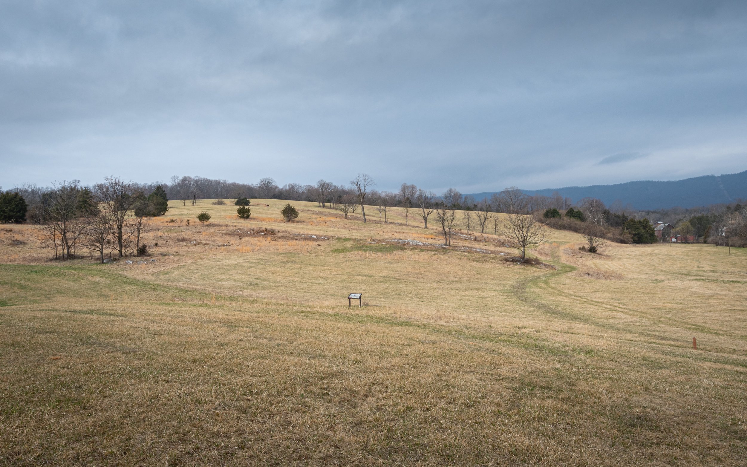
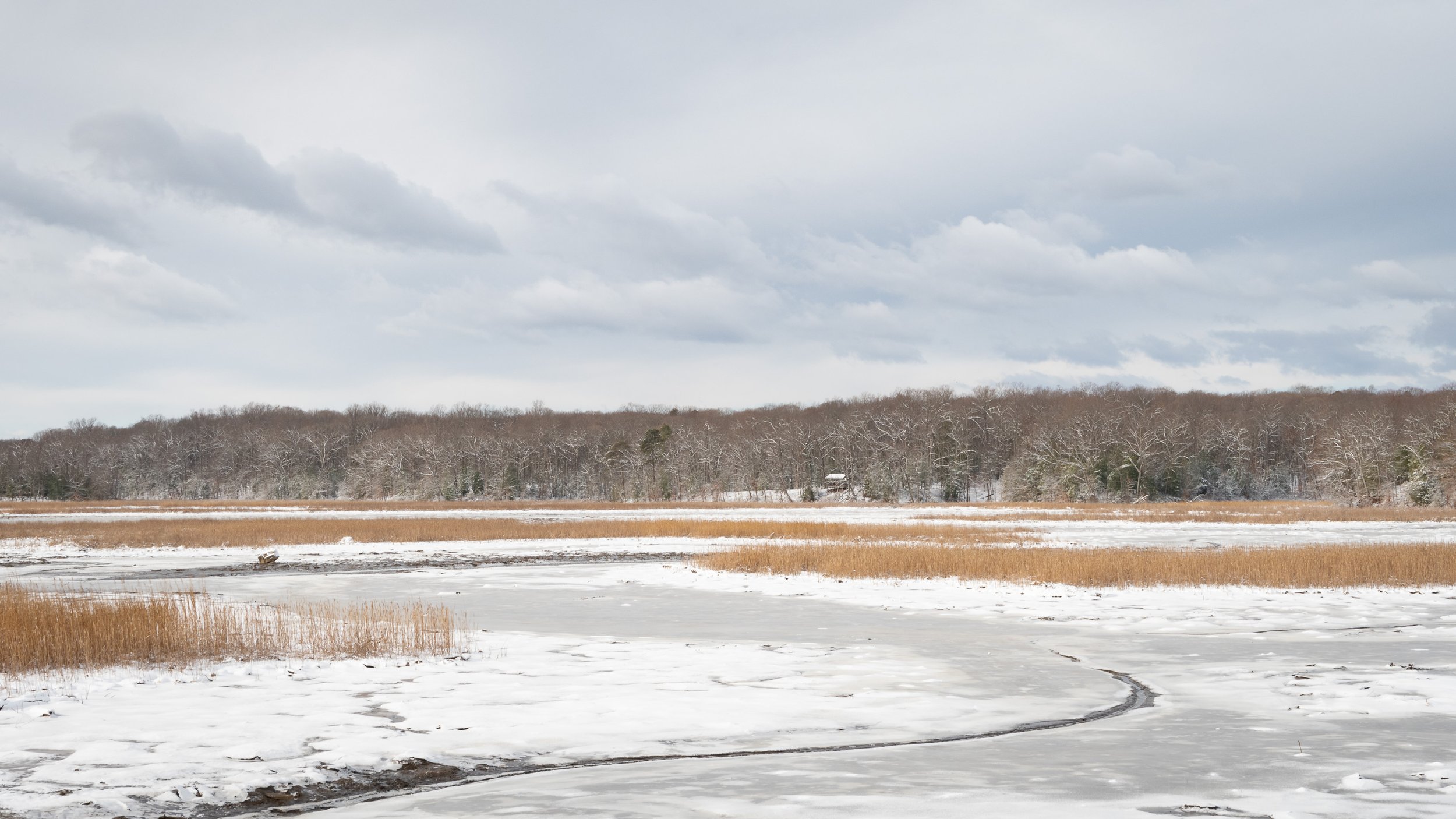
As with so many of the battlefields, you may not see any evidence of the war, no buildings or canons or dug trenches, but you will see sweeping landscapes, large fields, and hilly terrain. The maps on the signs do a great job describing where the various troops were positioned and how they maneuvered. This location, Fisher’s Hill, is referred to as Shenandoah Valley’s “Gibraltar”. The signage describes it as: “a natural fortification, apparently an impregnable one,” that sits at the narrowest part of the Shenandoah Valley, stretching just four miles from Little North Mountain to your front to Massanutten Mountain behind you.
The main signage at the parking lot of Fisher’s Hill Battlefield
The first trail sign at Fisher’s Hill Battlefield
This is where Union General Philip H. Sheridan’s forces pursued and engaged for the second time with Confederate General Jubal A. Early’s army. Early’s forces were significantly outnumbered and outmaneuvered, with 9,500 Confederate forces battling against 29,444 Union forces. By the end of the battle which was a Union victory the Confederates had lost 1,235 soldiers and the Union lost 528.
A view from a hill hear the entrance to the battlefield
As for location names, Fisher’s Hill isn’t a single hill but a series of hills between Back Road and the Shenandoah River. Ramseur’s Hill is one of these hills, named after Confederate General S. Dodson Ramseur whose troops manned this hill during the battle.
From atop a hill on the battlefield you can see the traffic of Interstate 81
The trail starts at the parking lot and weaves around some of the hilly terrain. We walked the initial section which is fairly accessible and level, but it appears, and the signs indicate, that beyond this point the trail becomes steeper and less accessible. If you’re ever in the area consider a visit. It’s located just off Interstate 81 in the Shenandoah Valley of Virginia.
Looking down at the bridge and walkway to the parking lot
Do you enjoy these posts?
Sign up to receive periodic emails with updates and thoughts. Don’t worry, I won’t spam you. And please consider purchasing artwork or products from my online store, and using my affiliate links in the sidebar to the right when shopping online.
I appreciate your support!